PHYSICAL MAP OF WESTERN EUROPE:
BY: ANNE B. 11/11/16
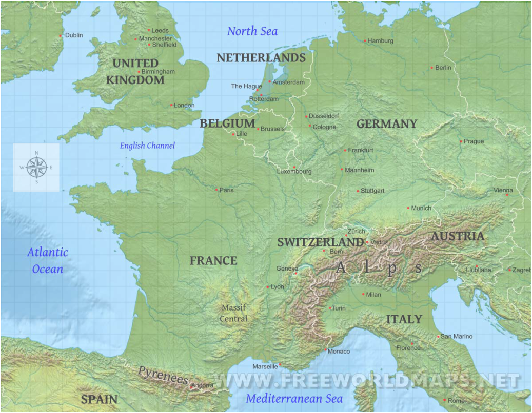
The many physical features of western Europe have affected the settlement patterns in many ways. The Alps kept settlers from crossing the Italian border and colonizing in France, or bordering countries. The English Channel and Atlantic Ocean helped settlers gain easy access to France, the Netherlands, and Belgium's coast. The Pyrenees mountains became a natural border between Spain and France, and kept settlers from crossing over, just like the Alps. Massif Central, an area of elevated land, was probably seen as an obstacle for people trying to cross over it
MAJOR RIVERS, LAND FORMS, AND MOUNTAIN RANGES:
Elbe, Loire, and Rhone are the major river in Western Europe. The major mountain ranges are the Alps, the Pyrenees, and the Dinaric Alps. The major land forms in Western Europe are the Western Uplands, the Central Uplands, and Massif Central.
Elbe, Loire, and Rhone are the major river in Western Europe. The major mountain ranges are the Alps, the Pyrenees, and the Dinaric Alps. The major land forms in Western Europe are the Western Uplands, the Central Uplands, and Massif Central.
Historical Political Map:

Current Political Map:
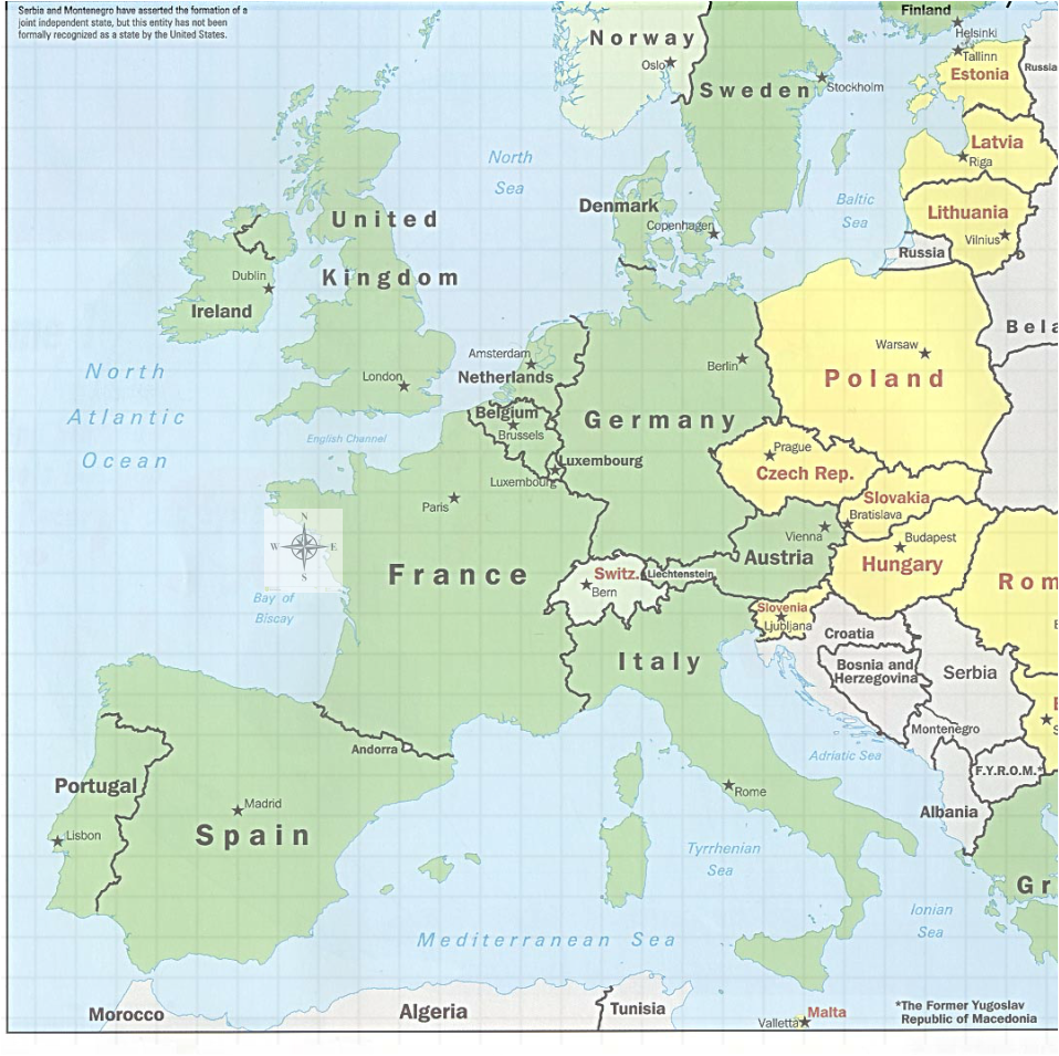
Overtime, the borders in western Europe have changed dramatically. The border between France and Spain has always been present, but the other residing countries have left. France's eastern border has been extended, dramatically increasing its size. The Holy Roman Empire disappeared, and new countries were formed. Many 14th century countries have disappeared all together, and been replaced by new and growing countries.
